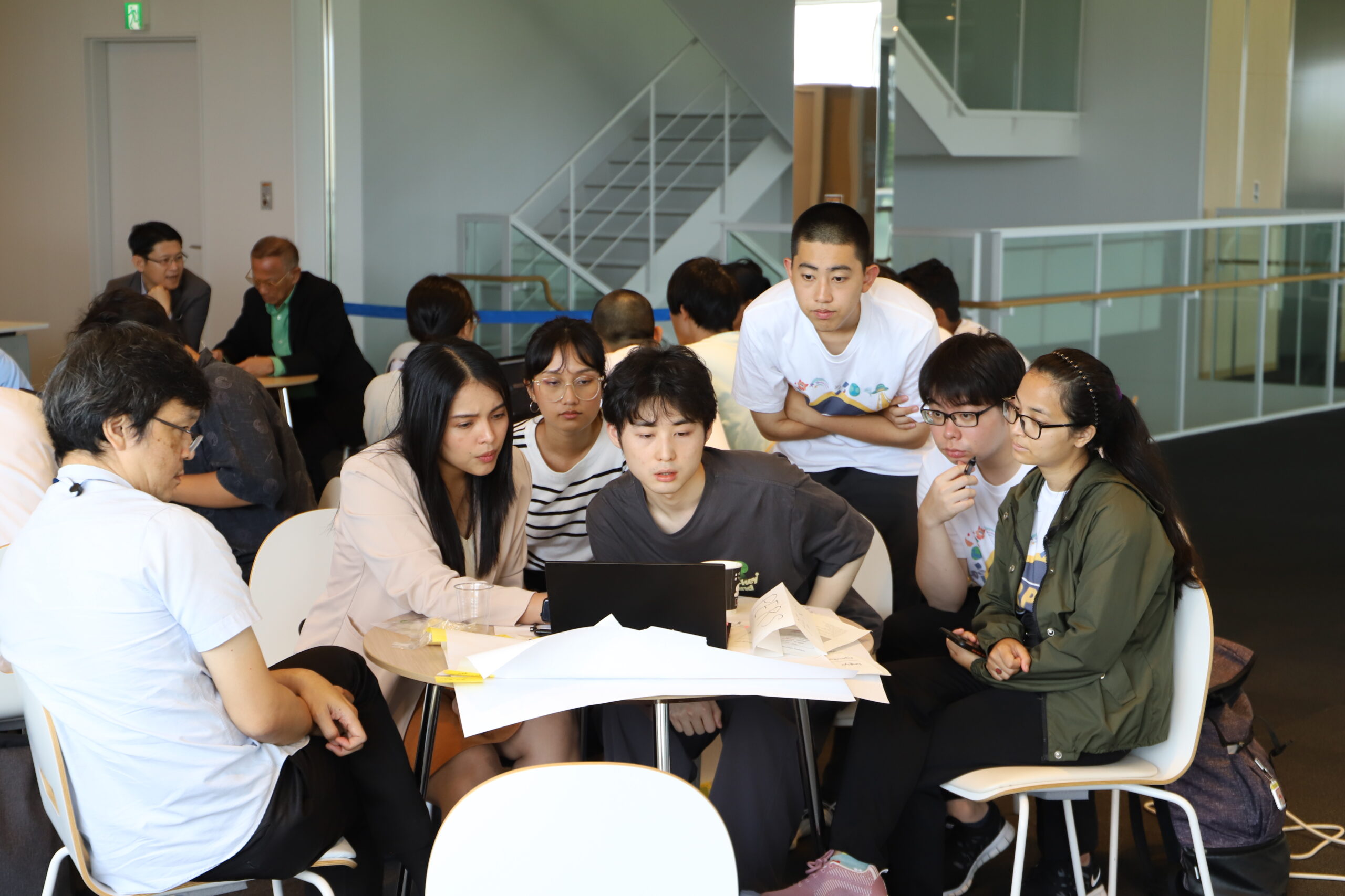
A team during the ideathon session at the Rapid Prototype Development Bootcamp. (Photo: Sohail Keegan Pinto)
The Rapid Prototype Development (RPD) Challenge, a hackathon organized by Multi GNSS Asia; the Geo-Informatics and Space Technology Development Agency (GISTDA), Thailand; and the Cabinet Office, Japan, was held at Hokkaido University from August 1–3, 2023. Students from Hokkaido University participated in the event, alongside participants from Thailand and Nepal. This edition of the Challenge required participants to develop prototype concepts for utilizing a global navigation satellite system (GNSS) for agricultural solutions. It was supported by Sony Group Corporation, The University of Tokyo, and Keio University.
The RPD Challenge is structured around three core principles: develop, mentor, and network. The hackathon was structured true to these principles: the participants were randomly and evenly divided into three groups, and were guided through the process of idea creation, concept and system design, and the hackathon itself, with a number of mentors present to answer questions in different fields.
(Photo: Sohail Keegan Pinto)
The first day of the Challenge was taken up by the Ideathon, led by facilitators from Keio University. In idea creation, the teams were guided into thinking about current agricultural issues and the potential solutions. This was followed up by concept and system design, where the teams took the issues and potential solutions they identified, and worked on developing a concept for these solutions in concrete terms—identifying necessary devices, software and datasets required to develop and deploy the solutions.
The participating teams were also provided access to proprietary software and were shown how to use the software to train automated robots to recognize the different parts of cereals and plants in agricultural settings. This software is used to program Sony’s Edge AI systems.
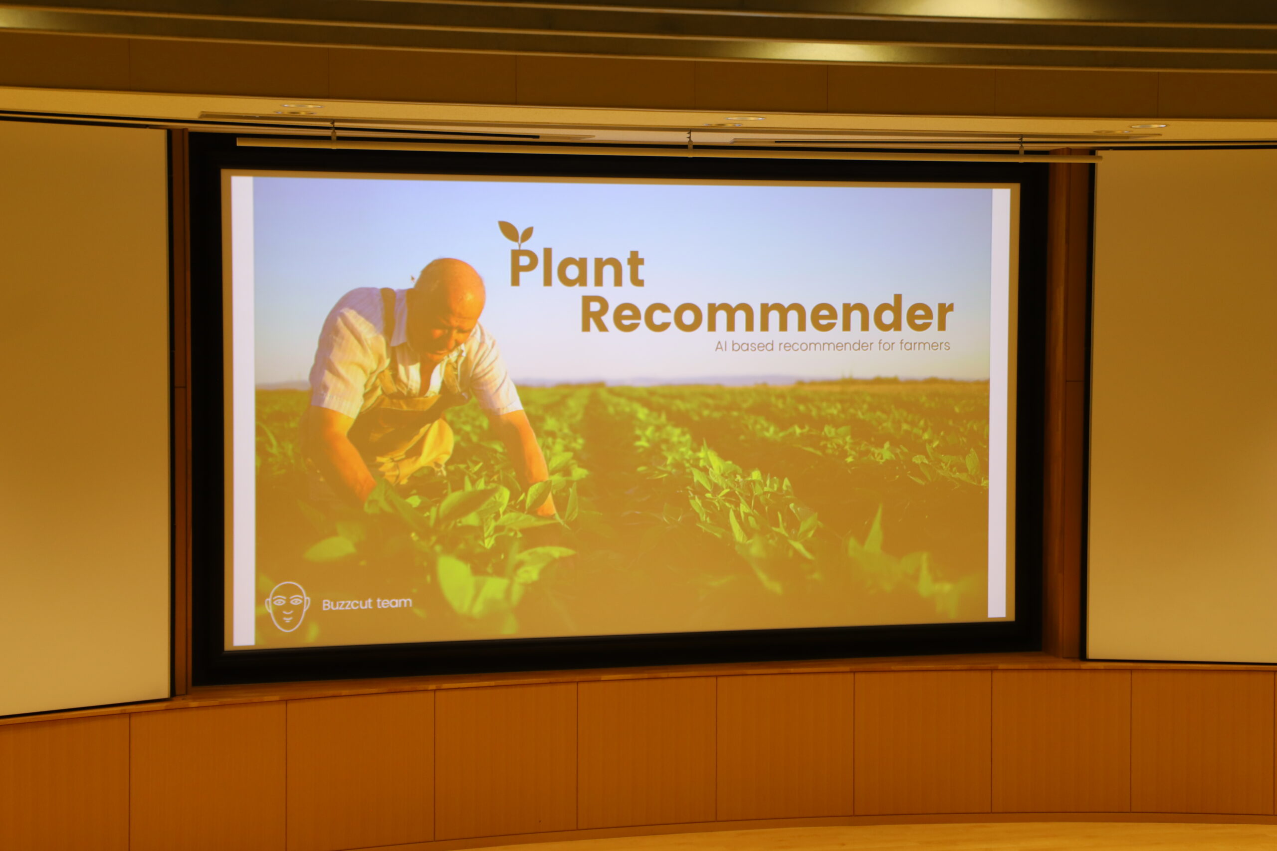
The prize-winning solution prototype developed by team Buzzcut. (Photo: Sohail Keegan Pinto)
The teams were then given free reign to discuss and develop their prototype concepts. Mentors were available to discuss the finer points of the issues they wanted to solve and the obstacles that arose during development of the solutions. The teams were also provided with the basic hardware required to test the prototypes they had developed.
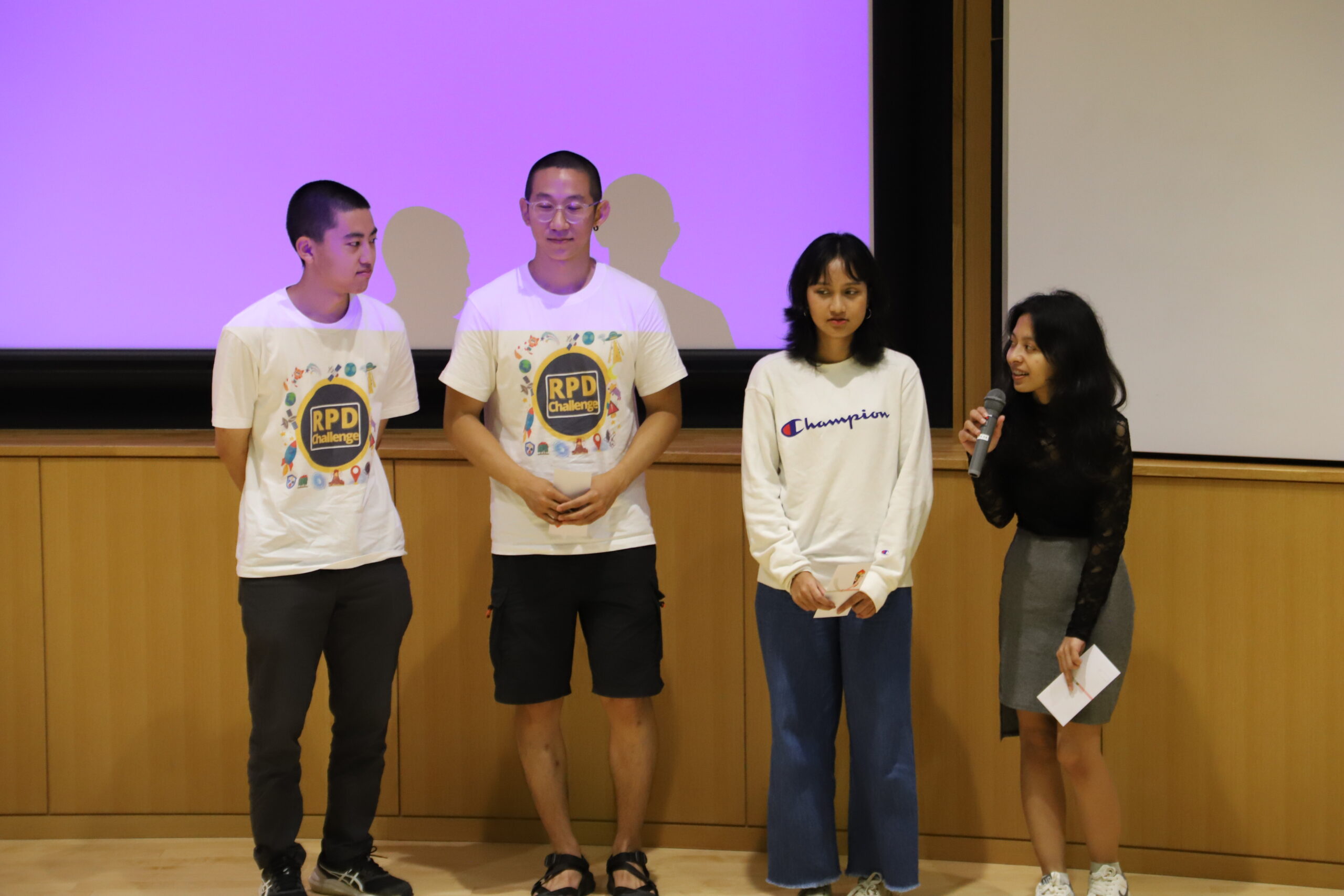
Team Buzzcut, the prize-winning team. (Photo: Sohail Keegan Pinto)
The final day of the Challenge was occupied by the team presentations. The Challenge values not just the technical solutions that are developed, but their potential impact as well—their benefits to stakeholders, investors, and society. Each team presented their solution, laying out short but detailed cases on the issue, the solutions and the expected stakeholders and outcomes. The winning team was Buzzcut, who proposed the development of a system called Plant Recommender. They laid out a step-by-step case for their solution—which involves real-time monitoring of the conditions in the agricultural lands and the use of machine learning and artificial intelligence to recommend the best plant cultivars to be grown under those conditions. A lucid presentation and the realistic scale of their solution contributed to their victory.
The Challenge also featured three demonstrations on each of the three days. On the first day, the teams visited the orchards at Hokkaido University. Professor Yoichiro Hoshino (Field Science Center for Northern Biosphere, Hokkaido University) guided the participants around and showed them the differences between blackberries and raspberries, especially drawing their attention to differences in leaf shape, branch stiffness and seed size. He also showed them sea buckthorn and haskap (blue honeysuckle) plants.
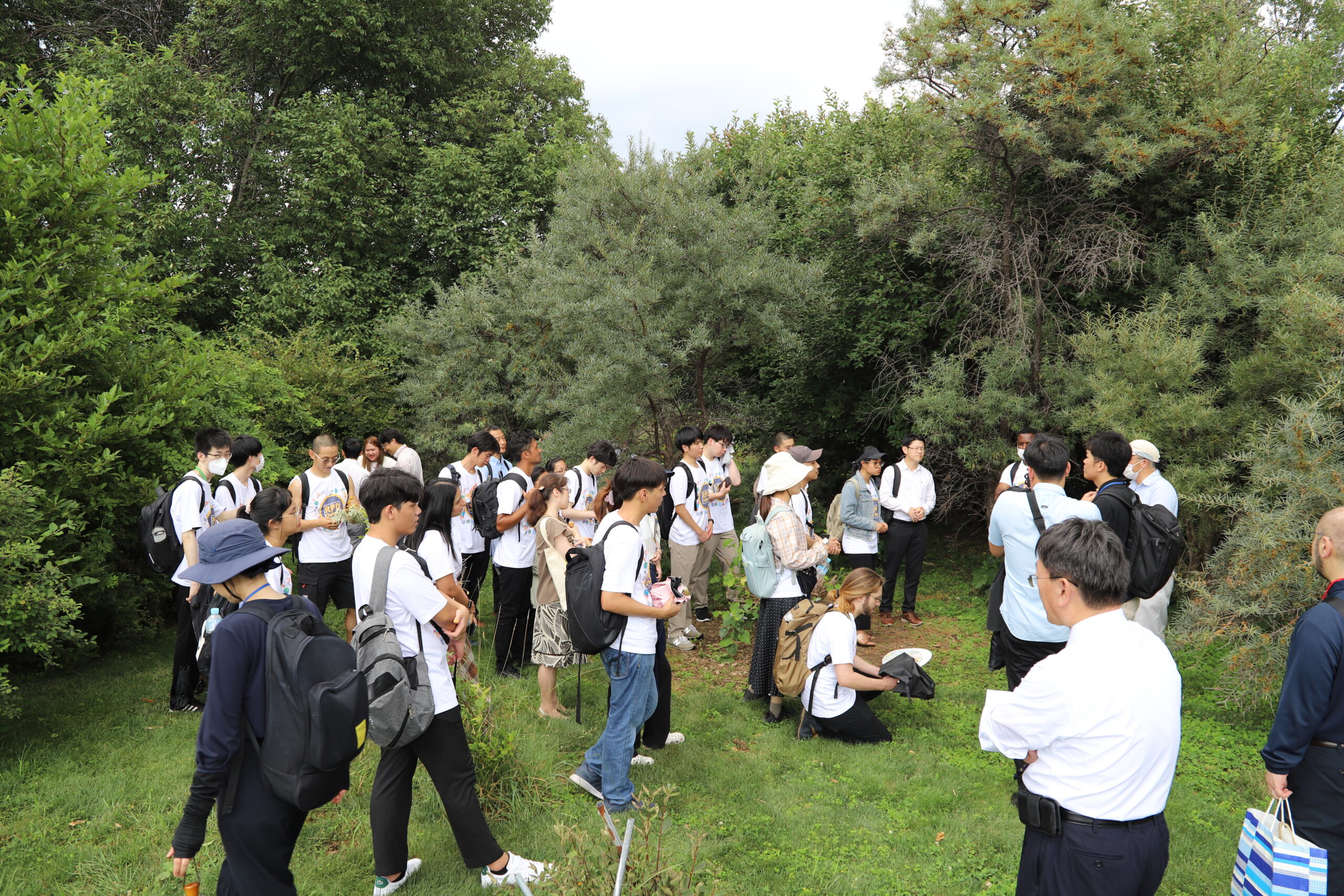
Professor Yoichiro Hoshino (Field Science Center for Northern Biosphere, Hokkaido University) talking about the sea buckthorn trees in the orchards at Hokkaido University. (Photo: Sohail Keegan Pinto)
Kentaro Matsuura, Sony Group Corp., then led the participants to the field protype of Sony Group’s imk500 system, currently being tested on eight varieties of wheat grown on a small plot of farmland in Hokkaido University. Imk500 utilizes Sony’s proprietary Edge-AI to generate a stream of metadata that gives a comprehensive, real-time status of the wheat plants and their conditions.
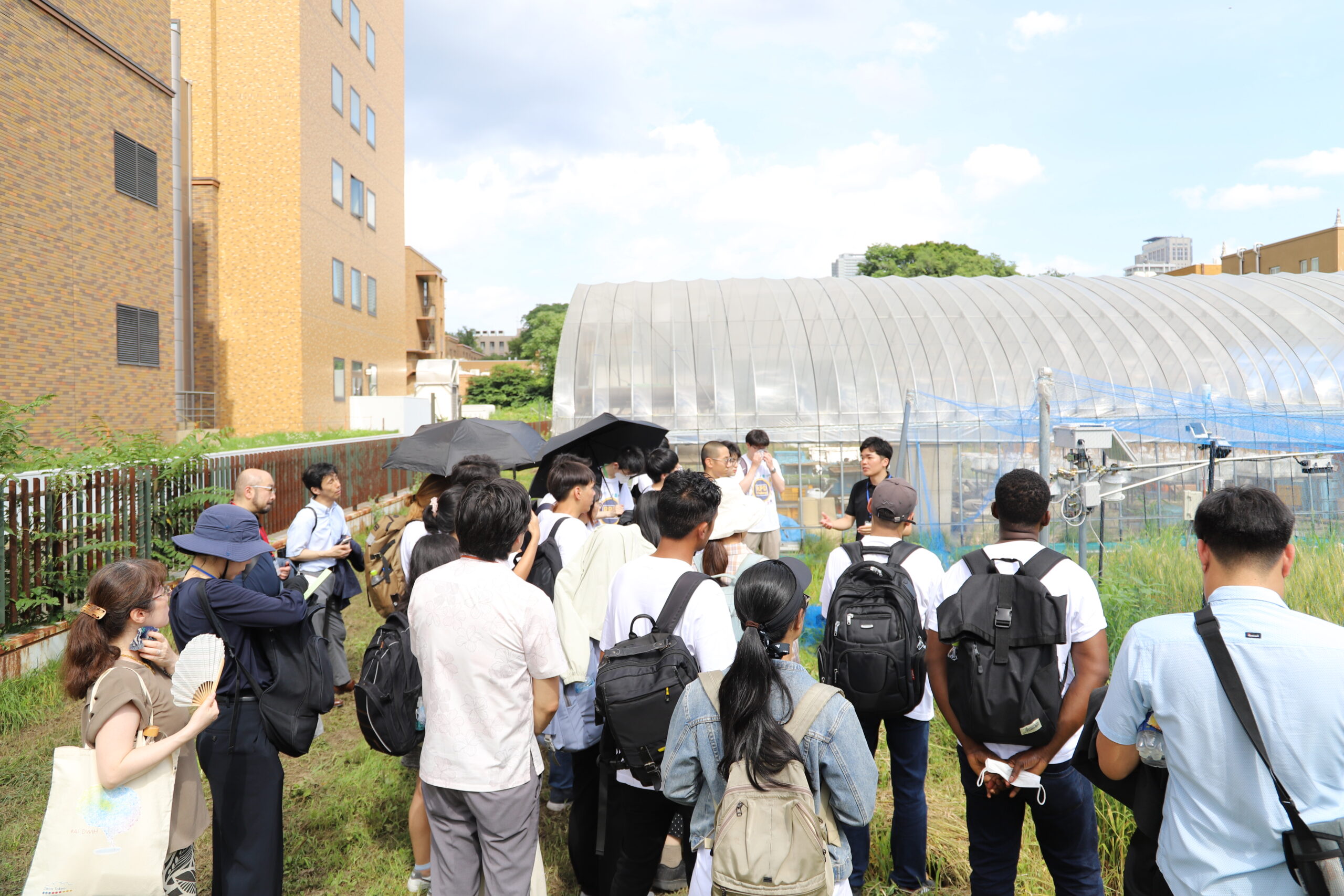
Kentaro Matsuura explains how the imk500 system tracks the growth and productivity of wheat. (Photo: Sohail Keegan Pinto)
On the second day Professor Kazunobu Ishii and Assistant Professor Ricardo A. Ospina, Faculty of Agriculture, introduced and demonstrated a robot tractor in the field outside the Smart Agriculture Education and Research Center (which opened on August 31). Ospina explained how the safety detection system worked, with a live demonstration.
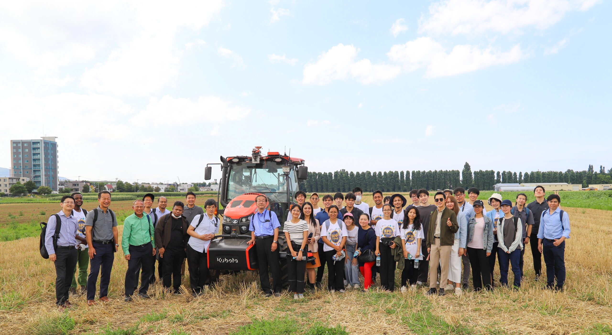
Organizers, resource persons and participants of the RPD Bootcamp with the robot tractor following a demonstration of its capabilities. (Photo: Sohail Keegan Pinto)
On the final day, following the team presentations, Professor Dinesh Manandhar at The University of Tokyo demonstrated Japan’s GNSS system: QZSS and MADOCA. He explained how this system was focused on reducing errors to improve accuracy.
Written by Sohail Keegan Pinto
Comments (0)